By Abdul Rafay Mohammed
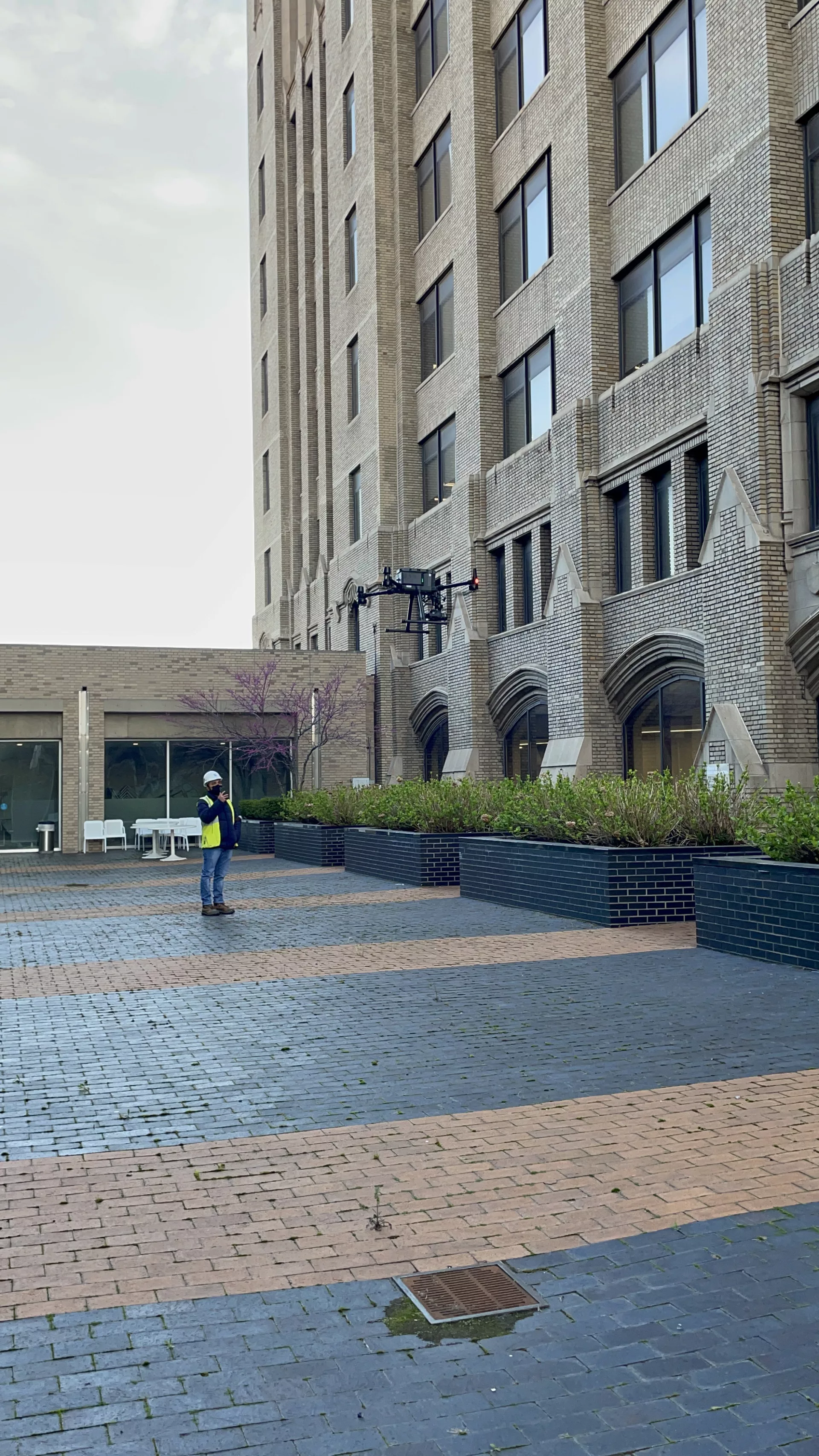
Drones are rapidly gaining popularity and have been used for a variety of purposes in the construction and engineering industry. In April 2021, NTH was tasked with inspecting the facade of a 10-story office building in the Downtown Detroit. NTH retained a subconsultant to assist with supplying and operating a DJI Matrice 300 RTK aerial drone. This drone is equipped with sophisticated sensors to optimize flight paths and a 42-Megapixel high-definition camera to capture images. Façade inspection has become a crucial part of preventative maintenance for facilities, building owners, and property management companies. Additionally, the City of Detroit, as well as many jurisdictions in the country, mandate a façade assessment for high-rise buildings every 5-years in the Building Code. |
The purpose of the façade assessment that NTH conducted was to assess the condition of the building’s façade in accordance with the City of Detroit Façade Ordinance to identify potentially hazardous conditions. NTH previously conducted an assessment for the same building’s facade in 2014 using traditional methods for accessing the upper levels including the use of temporary scaffolding systems, swing stages, and boom trucks. These traditional methods are expensive, time-consuming, require extensive planning, and have higher safety risks. Additionally, NTH was only able to perform close-up inspections of select areas on each elevation since gaining access to whole façade was not practical. |
The overall process was efficient in terms of costs, time, and data analysis. With safety being a major concern in traditional façade inspections, drone inspections, on the other hand are performed from a safe remote location.
Additionally, due to the Covid-related restrictions, NTH engineers were able to conduct the work while abiding by the CDC’s social distancing protocols.
The key benefits of using aerial drones for inspections are:
- Efficiency
- Safety
- Extensive Data Collection
- Cost-effective
- Remote Access with Visual Guidance
- Accuracy
- Photographic Documentation, and
- Efficient Data Analysis