Project Overview
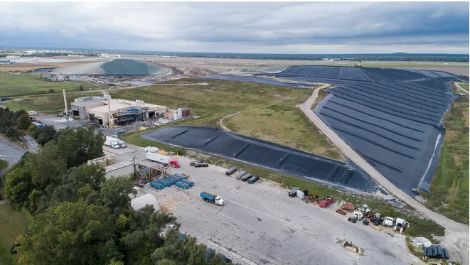
The Westside Recycling and Disposal Facility (RDF), owned and operated by Waste Management of Michigan, is a municipal solid waste (Type II) landfill just outside Three Rivers, Michigan. The “Bowman Expansion” was proposed to add 240 acres of landfill area – an approximate 350% increase – to provide long-term disposal capacity to 13 counties in Southwest Michigan and nearby States. NTH was retained to complete Part 115 Construction Permit Application (CPA) for the proposed expansion. In addition to the required hydrogeologic investigation and report, NTH prepared the Environmental Assessment, Hydrogeologic Monitoring Plan, Engineering Basis-of-Design report, and engineering design drawings and specifications. These elements were compiled into a complete CPA, which was submitted to and approved by the Michigan Department of Environmental Quality (MDEQ). With the approved additional capacity, Westside RDF has over 80 years of estimated life.
Project Scope
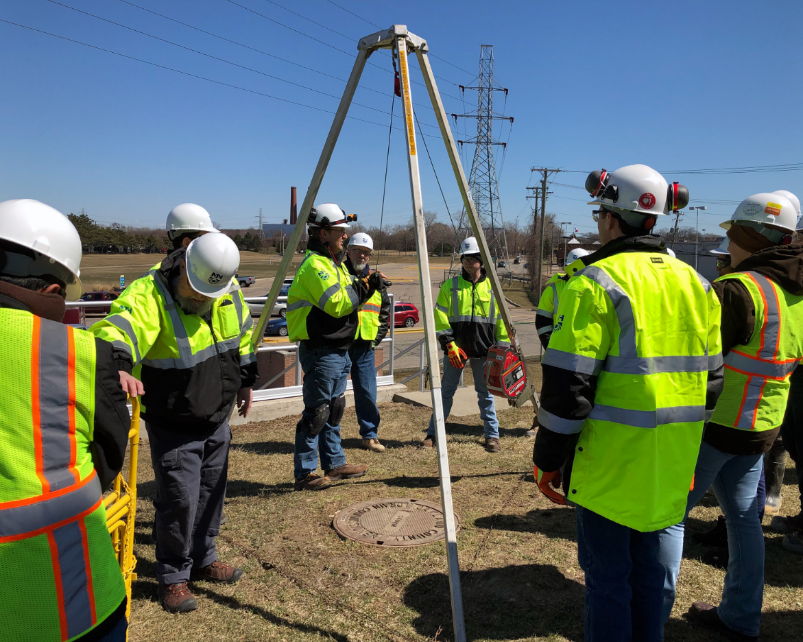
NTH developed and executed a scope of work to meet the Part 115 requirements and to provide information to design the landfill cell layout and floor grades that maximized the available airspace considering geologic conditions and depth to groundwater. After performing a visual inspection of the site to determine existing conditions and select drilling locations, our drilling subcontractor completed 18 test borings at strategic locations within the expansion area. The drilling procedure included collecting soil samples using both split-spoon techniques and Shelby tubes. Piezometers were installed in 10 of the test borings to provide information on groundwater elevations and quality. The piezometers included one nested pair, screened in an upper and lower groundwater units, which provided information on vertical hydraulic gradients between the two zones.
NTH conducted in situ permeability (slug) tests at four of the piezometers to establish estimates of the hydraulic properties of the saturated granular soils. The slug tests were performed in accordance with ASTM D4044-6 using a pressure transducer and electronic datalogger. NTH selected soil samples were submitted to the NTH geotechnical laboratory for testing to determine soil grain size distribution and classification for granular soils and strength and classification for cohesive soils. This information was subsequently incorporated into the NTH geotechnical analysis and design calculations.
NTH collected groundwater samples from the new piezometers, which were analyzed for the complete set of parameters listed in Part 115 Rules 450 though 454. This information, along with available leachate quality data for the existing active landfill, was used for developing an effective and efficient groundwater monitoring strategy for the site. NTH prepared the accompanying Hydrogeologic Monitoring Plan that called for a phased approach for including groundwater monitoring wells as various cells are constructed and licensed. A key element of the hydrogeologic study was demonstrating that the existing active landfill and the planned expansion area are monitorable units, despite the presence of groundwater impacts from the historic unlined fill areas. NTH successfully demonstrated, based on horizontal and vertical groundwater flow patterns and geochemistry, that the new area meets the definition of a “monitorable unit” in accordance with the Part 115 regulations. The Hydrogeologic Investigation Report, along with the other portions of the Construction Permit Application prepared by NTH, met the Part 115 requirements and were approved by MDEQ. The resulting landfill expansion continues to be implemented providing ample long-term waste management capacity to the region.
Client Benefit
Completed hydrogeologic investigation of a large tract with significantly fewer test borings than typically required by State regulatory guidelines, based on knowledge of site conditions and regional geologic setting.