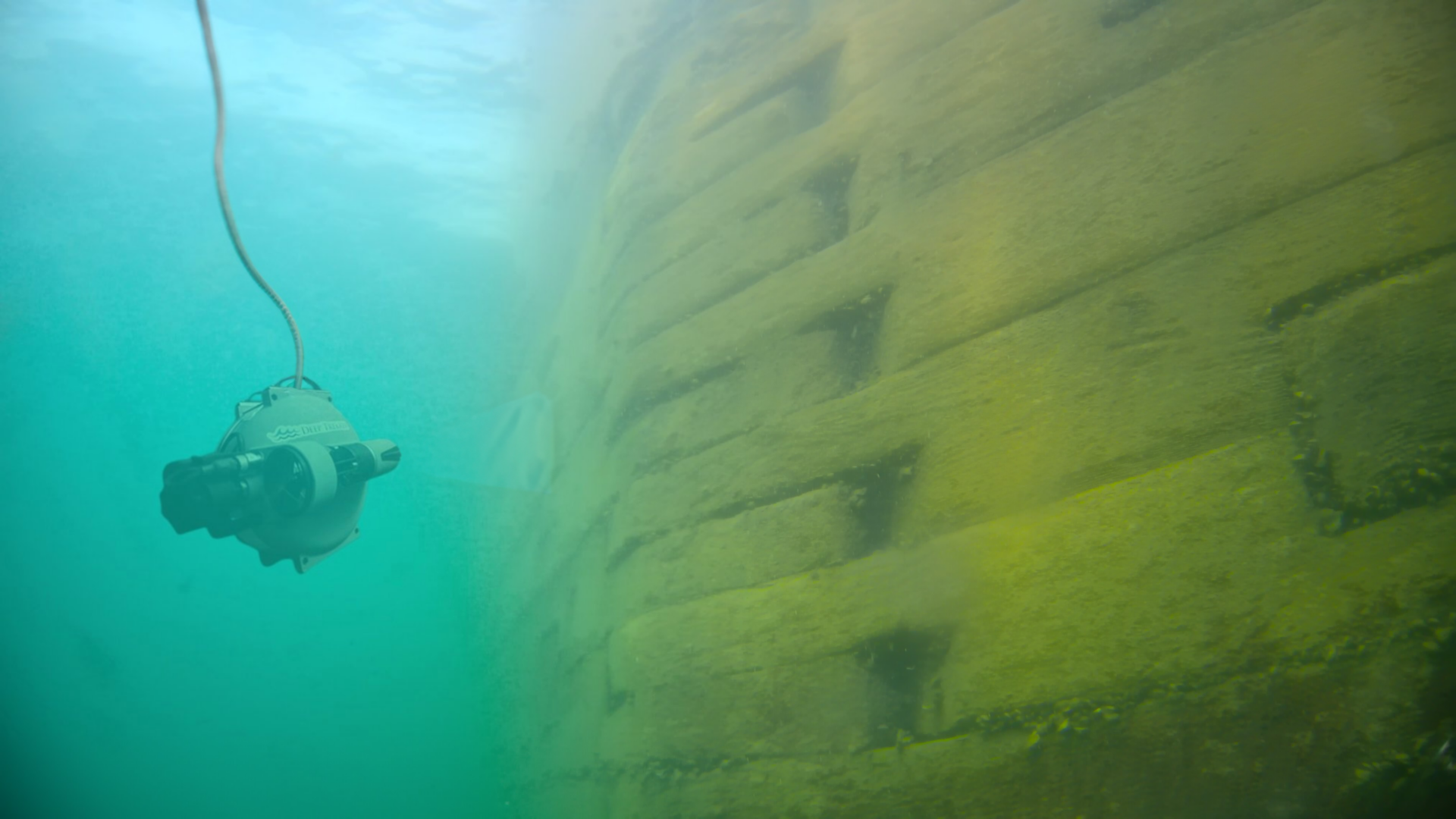
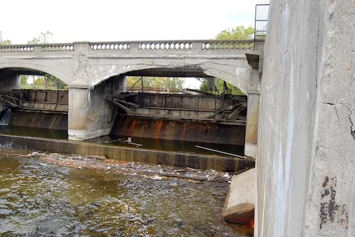
Each infrastructure asset we work with has a unique spatial location or set of locational coordinates. I-96 has a unique set of locational coordinates compared to every other highway and road in the world, and thus, I-96 is just one unique part of a much larger transportation network.
This concept of unique spatial location is a powerful one, as it allows a more complete understanding of the world around us. Engineers and scientists have latched onto this idea, and together with recent advancements in computational technology, are now using spatial analysis tools like Geographic Information Systems (GIS) to look at the world around them with fresh eyes.
What is GIS?
GIS is more than just software for creating maps. GIS is, at its core, a computational tool allowing users to collect, organize, analyze, and visualize data spatially. GIS is a platform which allows users to ask “where?” and help bring locational relevancy to a particular question by framing the question in a spatial context. This enables people to more easily see, analyze, and understand complex patterns that might otherwise be overlooked.
For instance, a GIS could be created to map out a city’s underground water pipes and the respective pipe sizes, ages, and materials. Such a GIS would help users determine which water pipes are not up to code and in need of replacement. Factoring in the cost of replacement, the same GIS could then be used to analyze what specific pipes are most likely to fail and which pipes are most vital to the overall functioning of the water system. A GIS-based strategic management plan could then be created to ensure the most vital pipes are given priority in the upkeep of the system.
One of the most important aspects of GIS is that it can be used to collect, manage, and analyze nearly any sort of data. Data in a GIS is not just limited to satellite imagery and GPS points. There is almost no limit as to what sort of data a GIS can handle. 3D modeling, historical live data feeds, and “Big Data” type datasets are all potential inputs to a GIS. (See examples below)
The Increasing Role of GIS in Civil Engineering
GIS is playing an increasing role in the world of civil engineering due to the strongly spatial nature of the discipline. It is a useful tool for the modern civil engineer, allowing us to better answer the all-important question of “where” in all of the diverse projects we work on. In addition, because of its unique asset management and analytical capabilities, GIS can also be used to achieve significant cost-savings within infrastructure-focused organizations, especially as those organizations move away from paper-based asset management systems and into the digital world.
The concept of spatial location coupled with the development of GIS has revolutionized the tech industry over the past few years. In turn, these advancements will undoubtedly play a lead role in helping to bring locational relevancy to complex civil engineering questions as we move forward into the data age.
This is a screenshot of sewer data stored in a relational database. Databases are an excellent way to collect and store large amounts of data; however, humans are not computers. It is difficult for us to understand the context of what this data really means. Where are the manholes? Where are these sewers? How large are the pipes? | This is the same data visualized in a GIS format. The data now has spatial context and is easily understood from a human’s perspective. (Images created with data courtesy of ESRI Sanitary Sewer Model) |