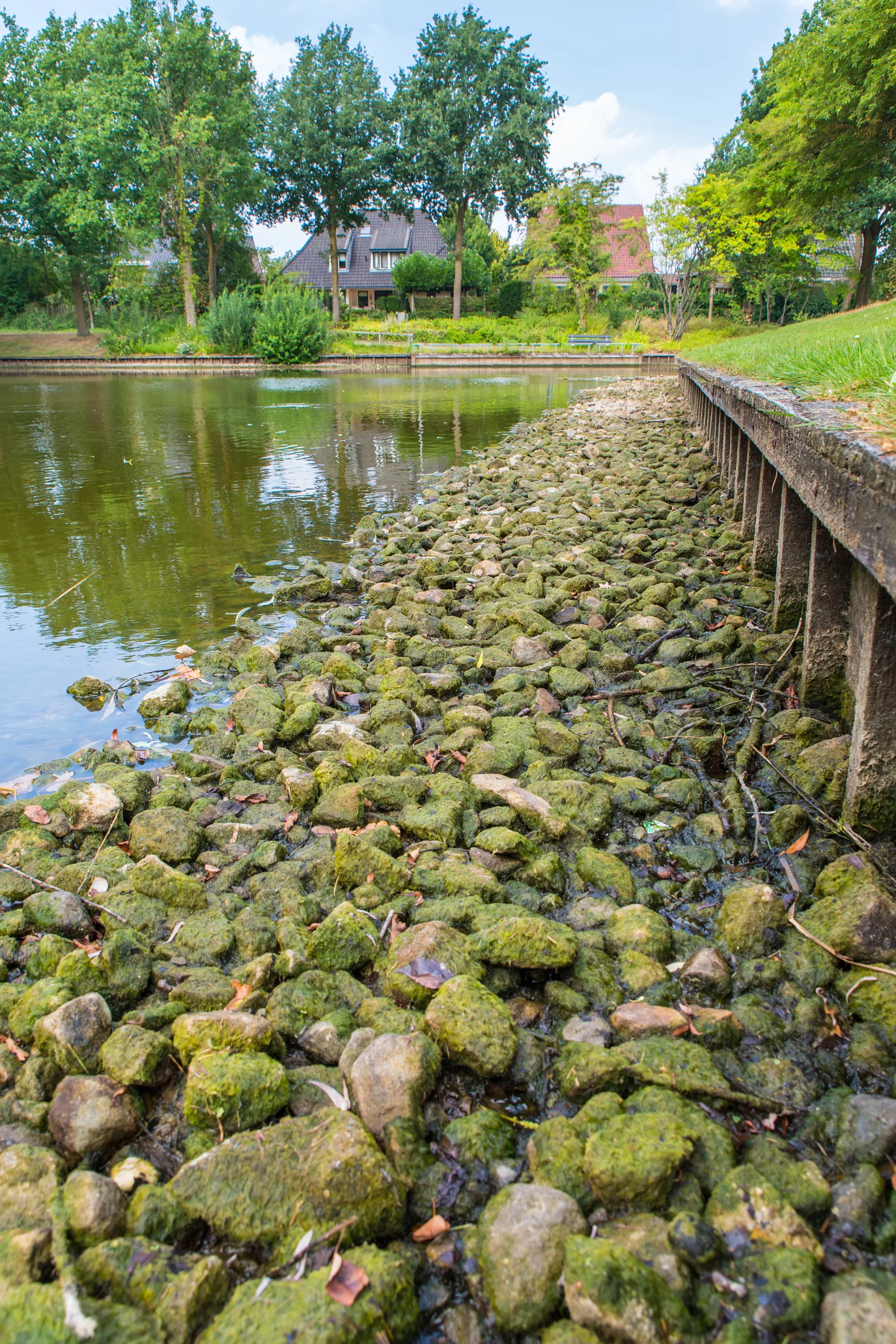
But they come with unique engineering challenges. Historically, urban rivers were the engines of industry, providing everything from process water to shipping channels. Impacted soils and “urban fill” materials commonly were placed or dumped within stream channels and marshy areas along the banks to expand buildable area near the waterfront. Water intakes and outfalls were situated along the banks by necessity. Now we desire to construct tall buildings with waterfront views, despite the presence of contaminated soils with weak foundation qualities and a great deal of underground infrastructure. Also, with flowing water or wave action comes the probability of erosion along the waterfront.
Finally, each waterfront serves a broad array of users, each with a distinct vision. Stakeholders may include property owners, nonprofit conservancies, government regulators, power plants, and everyday citizens who are vested in their hometowns. It takes creativity and commitment to successfully balance these diverse interests. No matter the scope of your project, NTH can help you realize your vision in the face of these myriad engineering and stakeholder challenges. Below are a few of our favorites to which we've contributed.
Detroit:
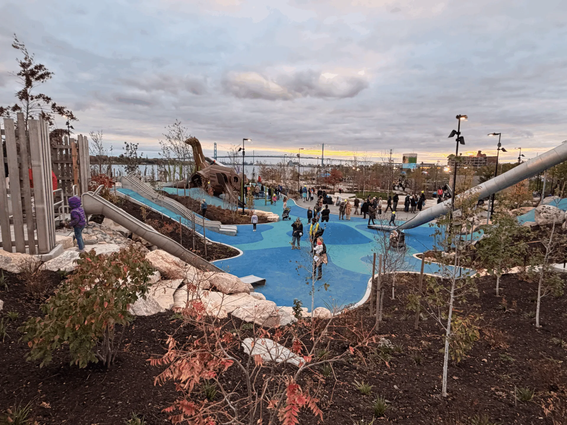
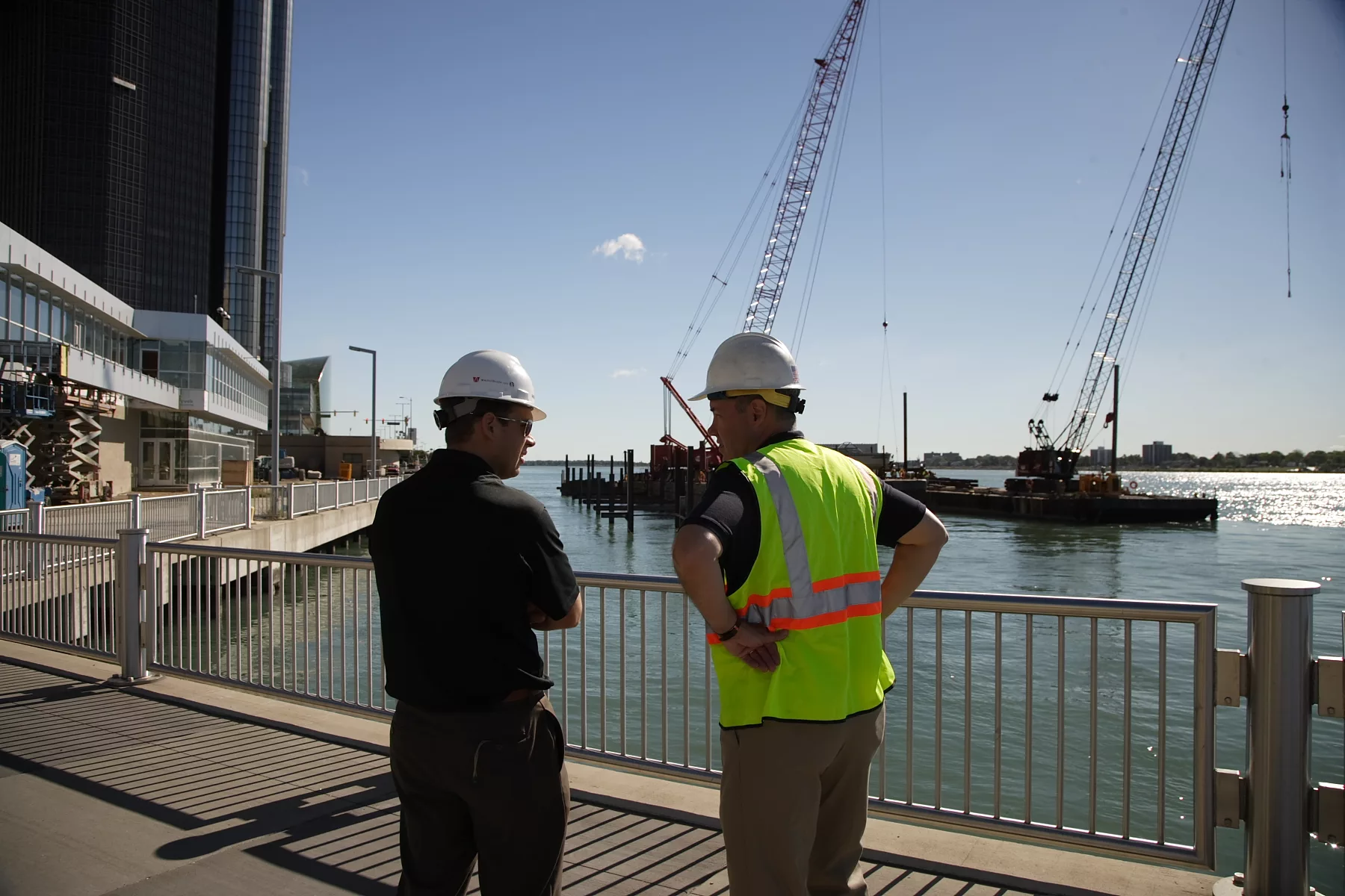
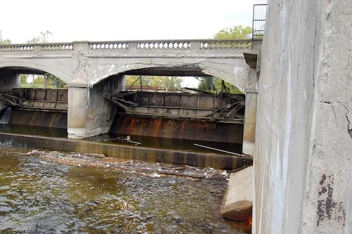
Over the past 11 years, Detroit’s Riverfront has become a beloved destination for tourists and locals alike. NTH has been part of the vision from the beginning, working with the Detroit Riverfront Conservancy to design the initial 3.5 mile stretch along the East Riverfront in 2007. Four years later, the nearby Port Authority building was completed, a complex project in which NTH rehabilitated a 90-year old wharf structure while maintaining two active CSO outfalls and a raw water pump station and transmission main in a densely developed area. We designed temporary shoring and bracing for Cobo Hall’s renovation, and we just began work on the highly-anticipated West Riverfront Park.
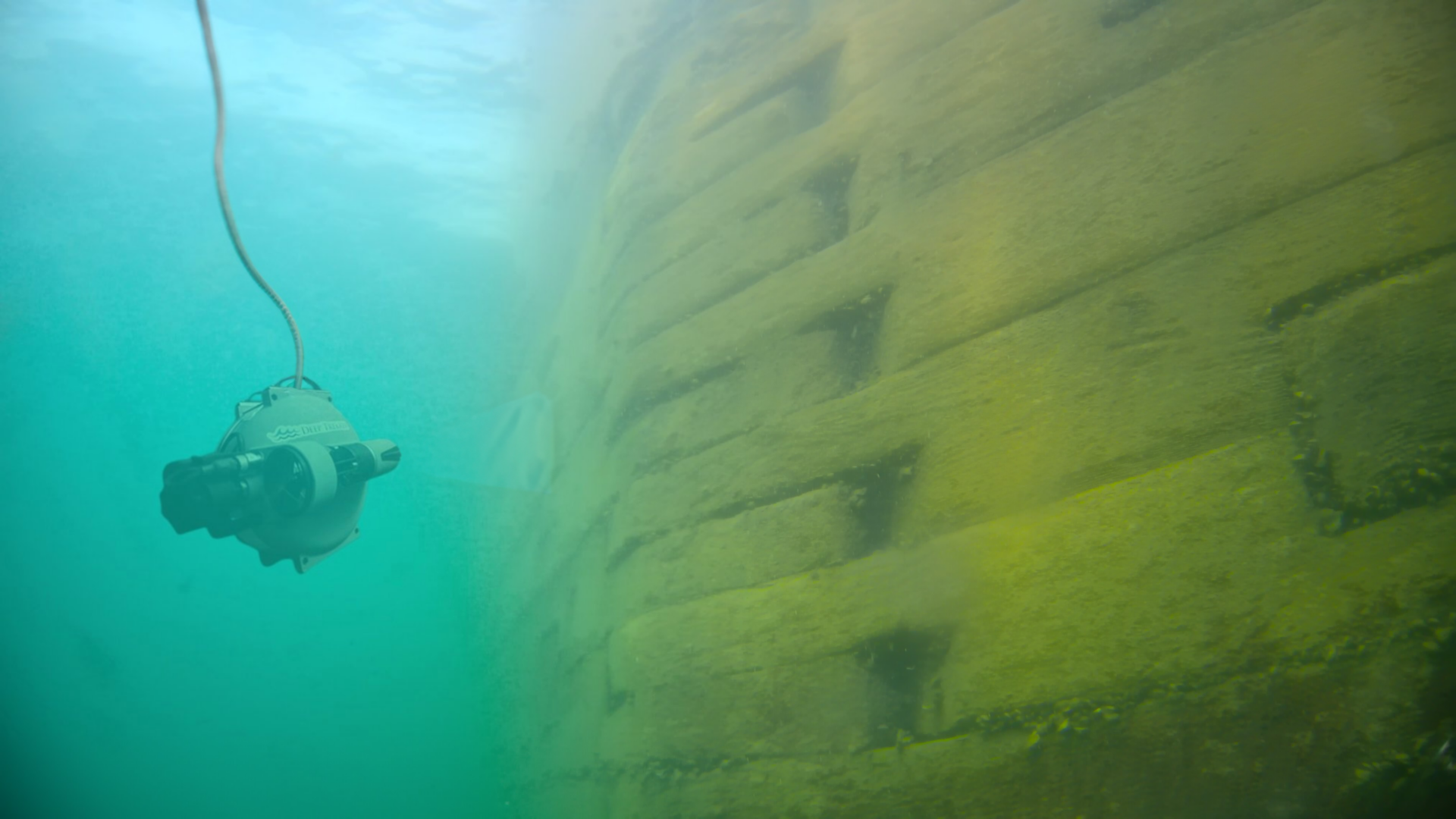
Further south is the Detroit River International Wildlife Refuge, where an award-winning dock and fishing pier provides public access to bring people closer to nature. While NTH has extensive experience with divers and underwater construction, they aren’t always necessary for a successful project. Designs relying on conventional construction methods may be more buildable by contractors, and significantly more cost-effective. On this project, NTH was able to reduce construction costs by 22% while maintaining the design intent, footprint, and appearance of the pier. Waters once inaccessible except by personal watercraft are now open to all.
Cleveland:
Cleveland’s waterfront is poised to follow Detroit’s example through its involvement on a number of initiatives and projects. NTH’s Pat Nortz currently serves on the Board of Directors of Cleveland's Green Ribbon Coalition, whose mission is to nurture and protect the city's Lake Erie shoreline and help encourage a balance of green space and commercial development. A group of over 20 agencies and nonprofit organizations soon hope to establish a 23-acre public park at Irishtown Bend on the west bank of the Cuyahoga River – but first, a quarter mile-long stretch of the Cuyahoga River bank must be stabilized to preserve the hillside and the river navigation channel.
Any new development in the area of Irishtown Bend poses a risk exacerbating the already unstable slope. In 2015, for example, NTH evaluated the soils for a permeable pavement design, which was ultimately installed at the nearby West Side Market. Permeable pavers offer an environmental boon but also could increase risk, as the increased infiltration of water into the soil can destabilize a slope. NTH’s models demonstrated no increased risk of instability of the Irishtown Bend slope.
NTH is also assisting the contractor on the construction of a streambank stabilization project along Doan Brook, near the Cleveland Museum of Art. The project involves relocation of approximately 800 feet of stream to help protect the slope.
Lansing:
Lansing’s River Trail was established in 1975 along the banks of the Red Cedar and Grand Rivers, linking parks, museums, and markets. The paved path now winds 20 miles through the downtown, extending to Michigan State University. The river’s infrastructure connects more than just people — this time of year, salmon make their annual journey across the Brenke Fish Ladder to spawn. Unsurprisingly for a long-established trail that is among the largest in the country, the trail and riverbank require ongoing evaluation and maintenance. Over the years, NTH has designed a variety of site-specific solutions to prevent future slope failures along the River Trail. These include constructing retaining walls using sheet pile or gabion baskets, supporting pathways using helical piers, and protecting banks from erosion using rip-rap or vegetation.
As they say, you can’t step into the same river twice – nor is there a single solution to streambank stabilization for every site! If your development vision includes the waterfront or shoreline, let’s start a conversation.