Geotechnical and Underground Engineering
Built on a Solid Foundation
We understand that every successful project begins with a stable foundation. While the ground beneath us may seem steadfast, it’s a dynamic and complex system of forces and materials that requires careful evaluation and engineering expertise. Integrating a site’s unique geotechnical characteristics is critical to ensuring the safety, stability, and constructability of any project.
Since 1968, NTH has been a leader in geotechnical and underground engineering. As one of the Midwest’s most trusted geotechnical engineering firms, we’ve helped clients overcome complex subsurface challenges with innovative solutions and award-winning results. From planning and design to monitoring, maintenance, and repair, our team provides the expertise needed to ensure the success of your project.
Geotechnical Expertise You Can Trust
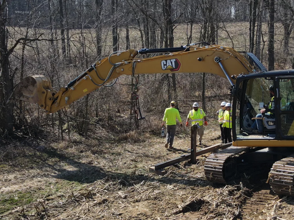
Our geotechnical engineers are veterans of the industry, with decades of experience solving complex underground engineering challenges. We specialize in designing tunnels and underground facilities, providing field engineering support during construction, and investigating and repairing failures both during and after project completion.
We understand that constructability is the cornerstone of every successful project. That’s why we work closely with clients, contractors, and stakeholders to deliver solutions that are practical, cost-effective, and tailored to the unique needs of each site.
Our Geotechnical Services
Key areas of expertise:
-
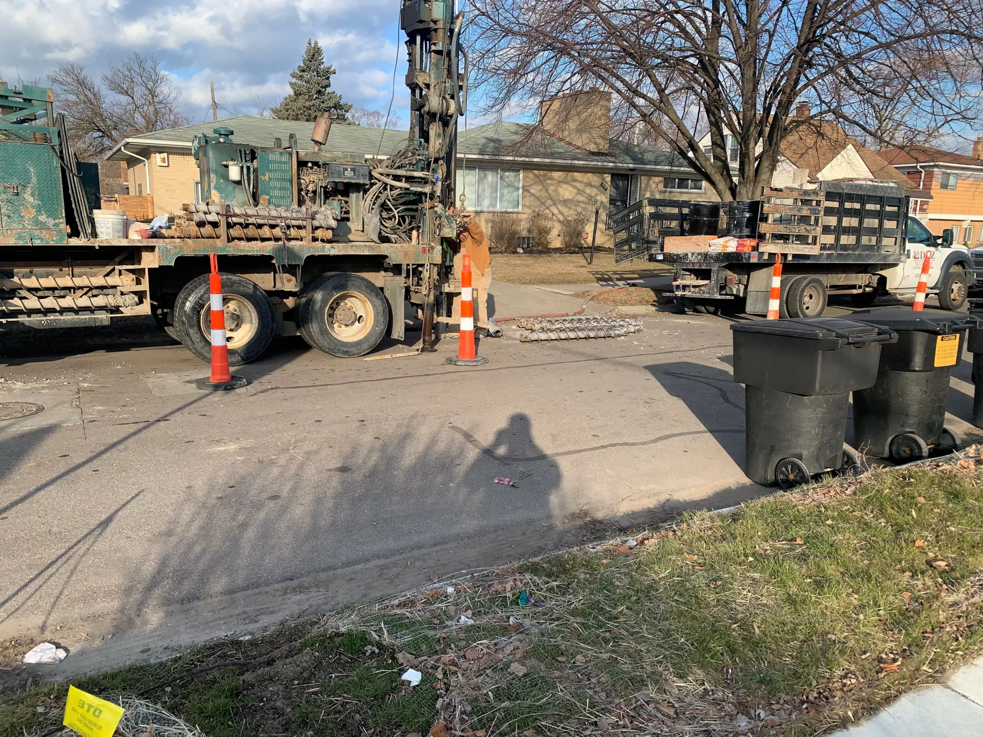
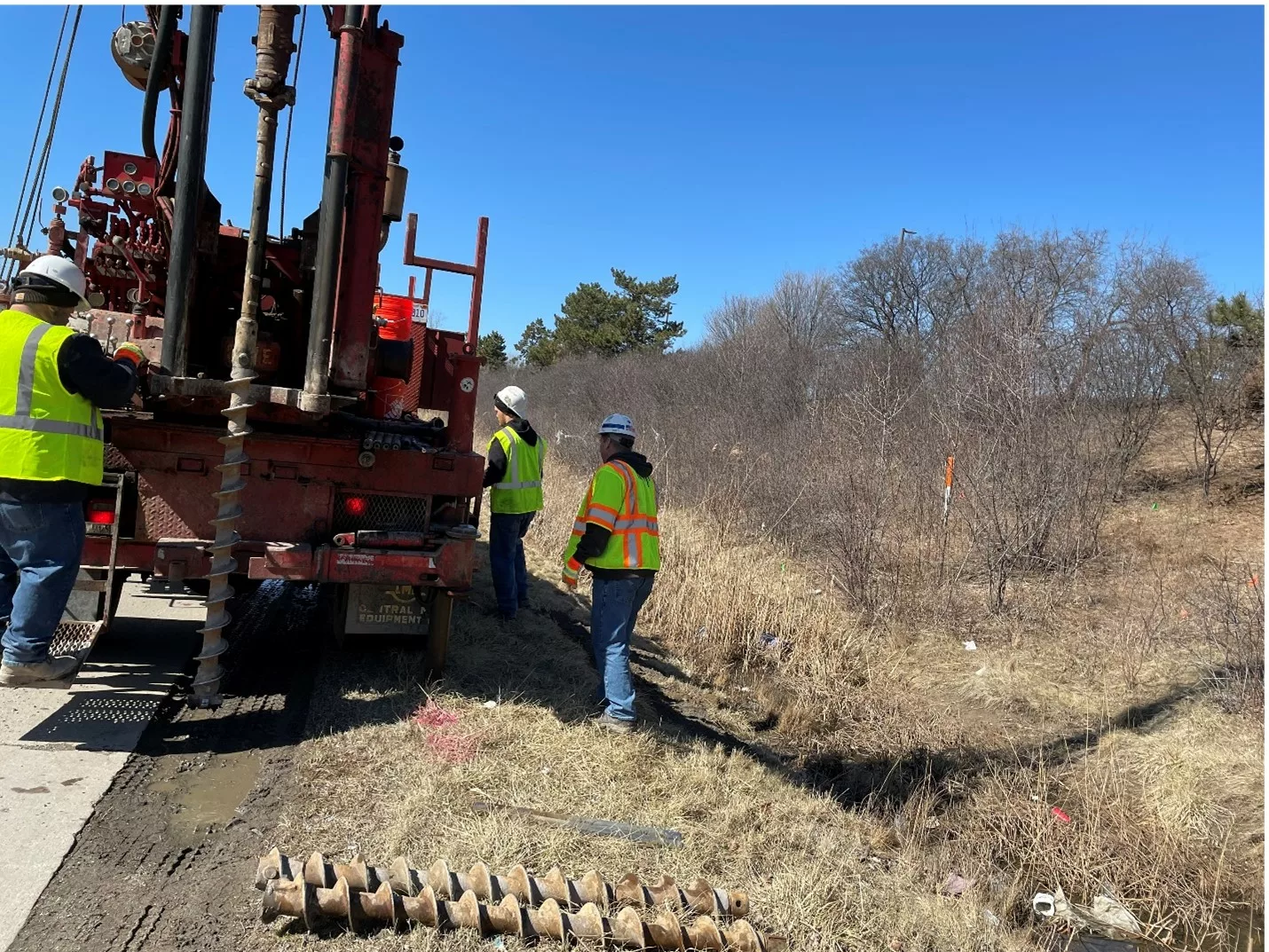
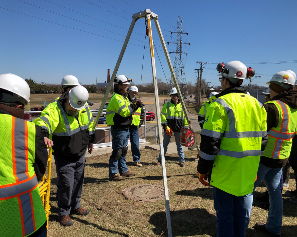
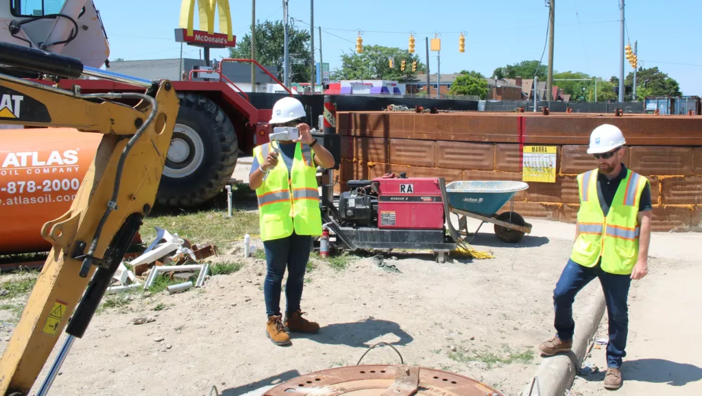
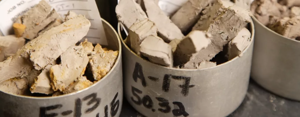
Subsurface Investigations
In-depth evaluation of soil, rock, and groundwater conditions to inform design and construction. Our thorough analysis ensures that geotechnical risks are identified and mitigated before construction begins, reducing unforeseen delays and costs.
-
Foundation Design
Design of deep and shallow foundation systems to ensure stability and support for structures of all sizes. We tailor solutions to each site’s unique geotechnical conditions, balancing safety, performance, and cost efficiency.
-
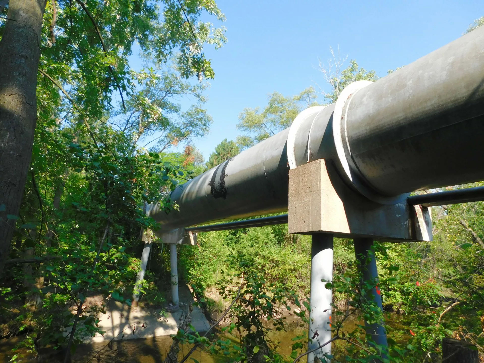
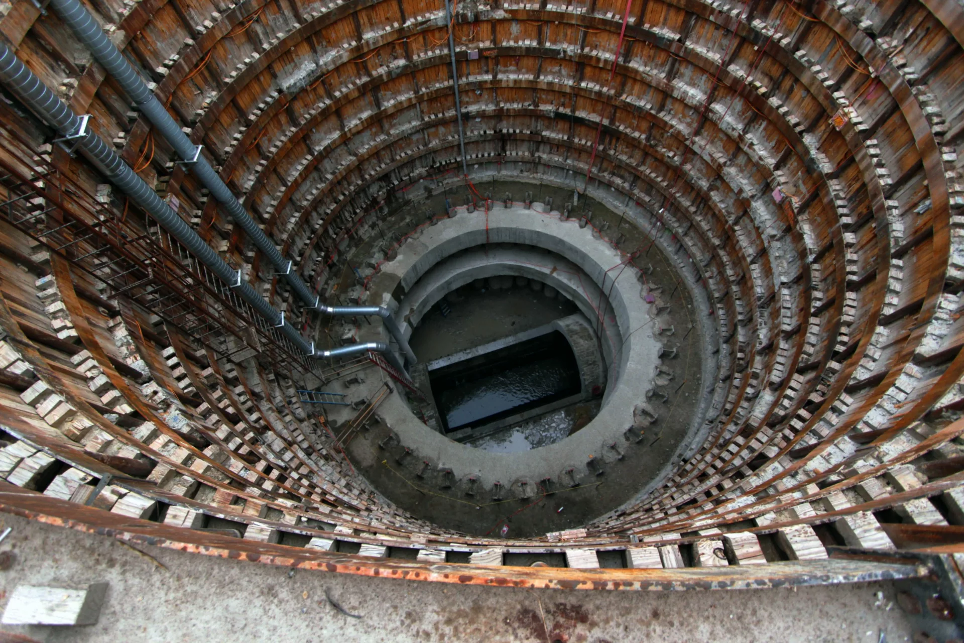
Tunneling and Underground Structures
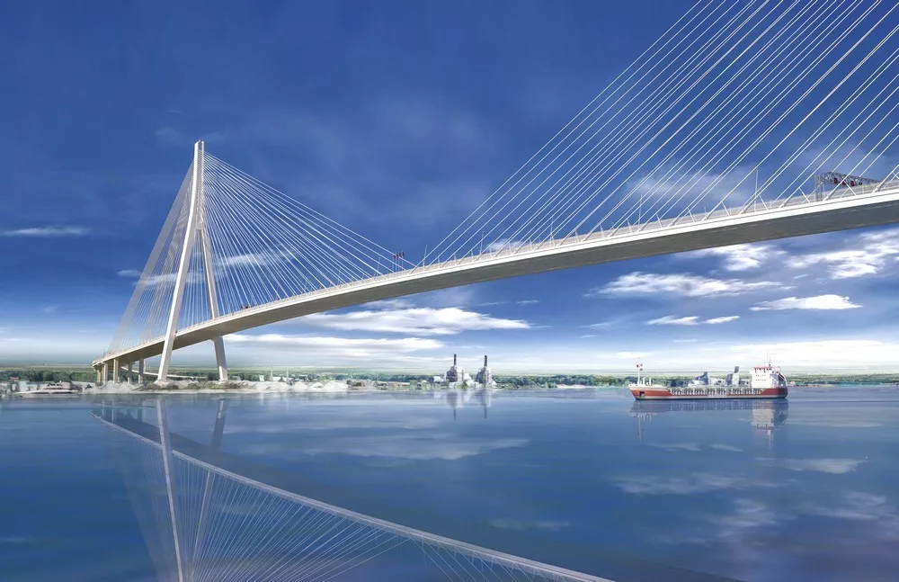
Specialized design and engineering for tunnels, shafts, and underground facilities, including excavation support and lining systems. Our expertise ensures safe construction and long-term reliability in challenging subsurface environments.
-
Slope Stability and Landslide Analysis
Assessment and mitigation of slope failures and landslides to protect infrastructure and ensure safety. We provide practical solutions to prevent erosion and stabilize slopes for long-term resilience.
-
Ground Improvement and Soil Stabilization
Advanced techniques to enhance the performance of challenging soils, including grouting, compaction, and reinforcement. These methods improve load-bearing capacity and reduce settlement risks for critical structures.
-
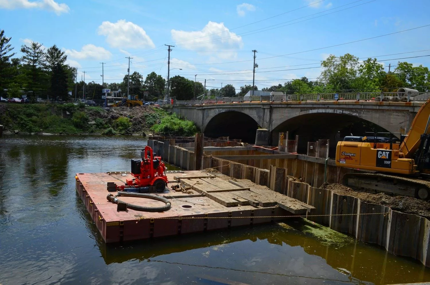
Seepage and Groundwater Control
Analysis and design of dewatering systems to manage groundwater during construction and throughout a facility’s lifespan. Our solutions help prevent water-related disruptions and ensure safe and dry working conditions.
-
Earth Retention Systems
Design of retaining walls, braced excavations, and other systems to safely support earth and structures during excavation. Our custom designs minimize movement, ensuring stability for adjacent properties and infrastructure.
-
Failure Investigation and Remediation
Expert investigation of geotechnical and underground facility failures to identify root causes and provide effective repair solutions. We focus on restoring functionality and preventing recurrence, ensuring long-term performance.
Projects
View All